-

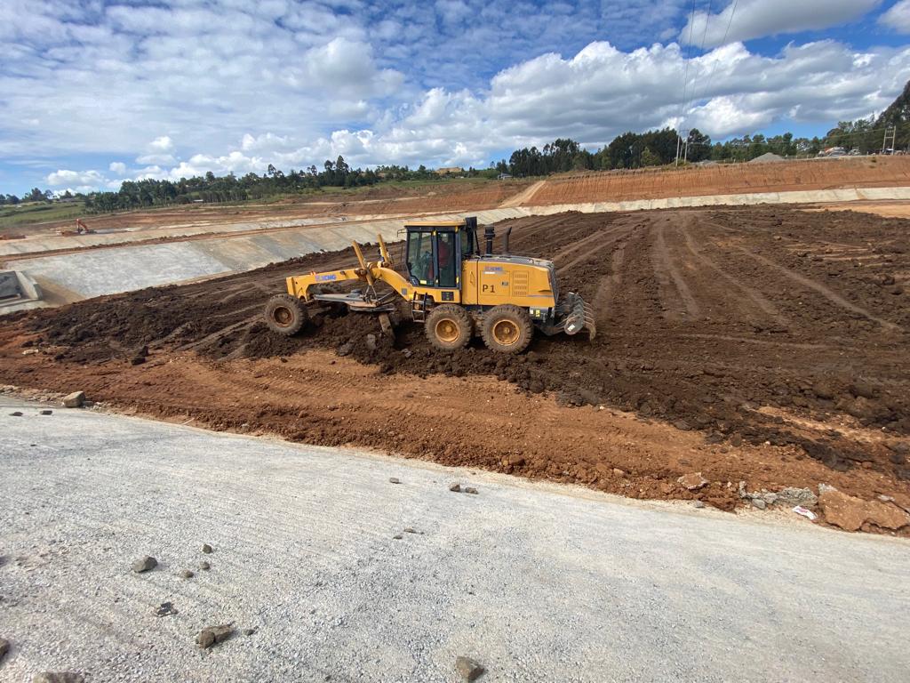
OL KALOU TOWN SEWERAGE PROJECT
-

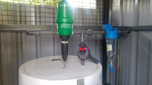
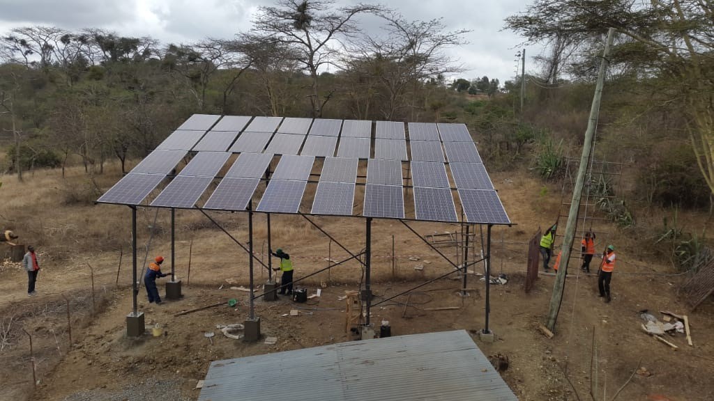
WATER SUPPLY PROJECTS IN MAKUENI, KITUI AND KISUMU FOR USAID'S KIWASH PROGRAMME
-

IMPROVEMENT OF WATER SERVICES IN MOMBASA COUNTY
-

MACHAKOS WATER AND SEWERAGE PROJECT
-

RELOCATION OF WATER AND SEWER PIPELINES ALONG NAIROBI EXPRESSWAY
-

WATER AND SANITATION DEVELOPMENT PROJECT
INFRASTRUCTURE DEVELOPMENT
Losai Management Limited has broad experience in a vast range of infrastructure development projects in Water Supply, Sanitation and Drainage in Kenya, East and Central Africa. Losai has expertise in infrastructure condition assessment, master planning, feasibility studies, mapping and modelling, hydrological studies, preliminary and detailed designs and design reviews among others.
PROJECT MANAGEMENT
At Losai, each project is meticulously planned and executed and above all we keep you informed of progress every step of the way. You benefit from individual customized solutions for every stage of your project.
ENVIRONMENTAL MANAGEMENT
We offer a broad range of services in Environmental Management encompassing but not limited to the following;
Environmental and Social Impact Assessments (ESIA)
Strategic Environmental Assessments
Environmental Management Plans
Environmental Audits
UTILITY MANAGEMENT
Losai Management Limited is a key player in the Utility management sector in Kenya. We play a key role in helping utilities and other stakeholders achieve efficiency with their current resources, measure the impact of their investments, provide strategies to enable cost recovery and develop appropriate strategies and frameworks to ensure long-term sustainability of their operations.
GIS IN PLANNING AND INFRASTRUCTURE MANAGEMENT
GIS is an integrated tool, capable of capturing, mapping, analysing, manipulating and storage of multi-sectorial data and present synthesized spatial information. GIS supports decision making in planning, infrastructure development and utility management facilitating recommendation of solutions to real world problems. We have fully capable GIS systems compatible with the software packages: ArcView, MapInfo, AutoCAD, ArcInfo, and ArcGIS.
OUR CLIENTS


